Report
A Photo Essay of Adwa Houses Destroyed by Eritrean Troops in a Week in October 2022
By Negasi Awetehey
Eritrean forces have recently destroyed hundreds of houses in the villages of Mariam Shewito, Inda Aba Gerima, Gendebta, and Debre Genet. The massacre recently reported by the Washington Post was accompanied by the destruction of villages and houses and an organized looting. Washington Post´s satellite imagery confirms that at least 67 structures in the villages, mostly in household compounds, were severely damaged during the time when witnesses said the killings happened. The killings and destruction lasted for over the course of a week, culminating on November 2, 2022, the day the Pretoria deal was signed.
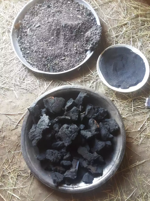
Except for a few heavy artillery shelling, most of the destruction was effected by setting houses on fire. Residents said they found remains of match sticks and boxes labelled made in India, and cigarette lighters that soldiers brought with them, apparently to set items ablaze. Some owners (e.g., Figure 1) said the troops added fuel after piling household utensils on the floor. They first used many of the houses and their compound walls as bunkers, and then set them on fire when they left.
Some residents also said they escaped to the mountains where they stayed for five days without food and water while watching their villages and houses burn from afar. But the forces were also shelling the bushes and caves of the mountains because they knew people were seeking refuge there.
Other residents said their compound has experienced damage or total destruction or at least one important item (e.g., electronics, bed, and blanket) has been looted. A house or houses destroyed directly means all the properties including crops, clothes, and other basics within were also destroyed. Cattle and other animals of the households were also killed by the firing and shelling, or slaughtered and taken by the Eritrean forces. Farmers’ beehives have also been destroyed. Some households had up to six beehives , but were completely turned into ashes.
Since the thatched houses are basic for daily activities of cooking and food preparation, people tried to rebuild or build another one but could not get grass for the roofing. Previously, it was the mountains and some protected or garden areas that accommodated the demand for grass. However, due to the war and siege that inflicted damage on the ecosystem, there is an absolute lack of grass, residents said. Almost no fodder is left after the setting on fire campaign by the Eritrean forces.
Below are examples pictures of 21 homesteads destroyed either by burning or firing in villages that are with a radius of about 10 Kms. The area is shown in the embedded map.
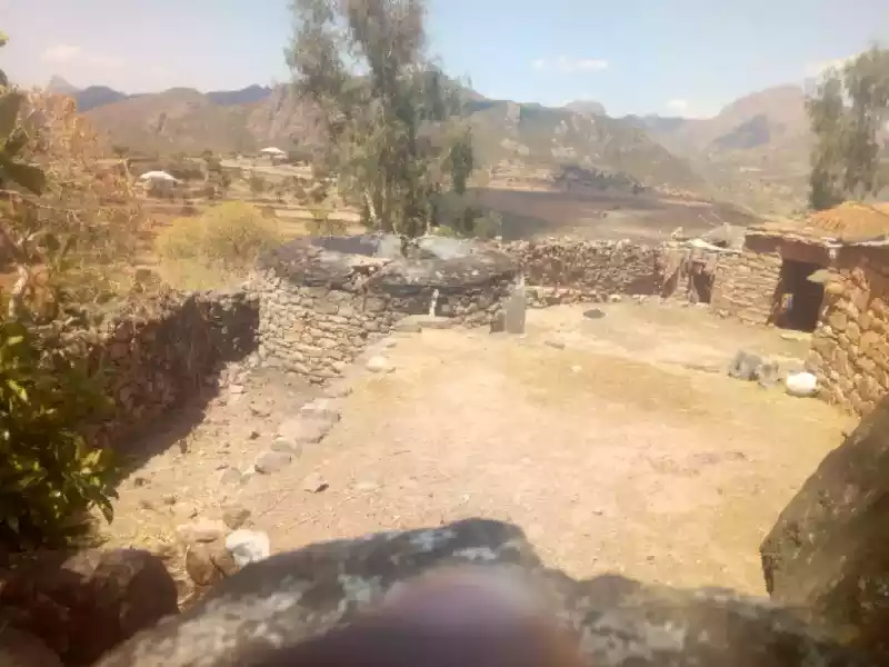
In Tabia Inda Aba Gerima
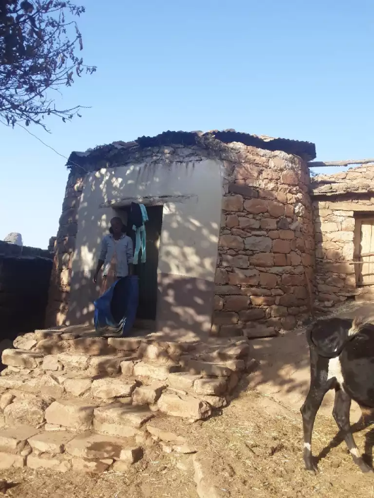
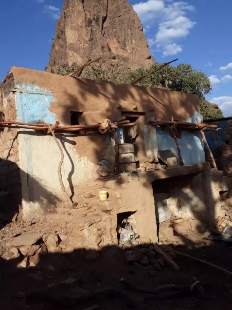
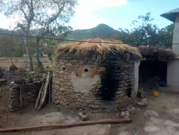
The thatched room and another one with corrugated iron roofing were destroyed.
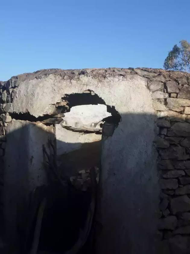
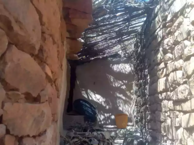
One has temporally been covered.
Weldegiorgis himself was killed.

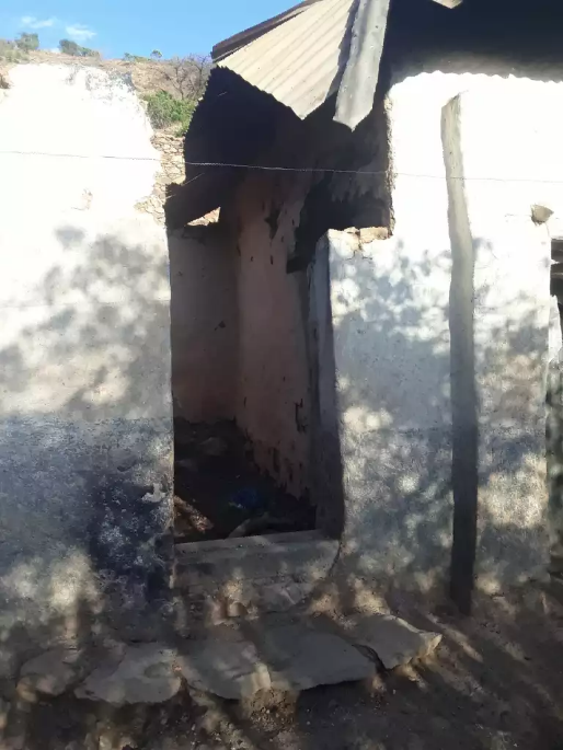
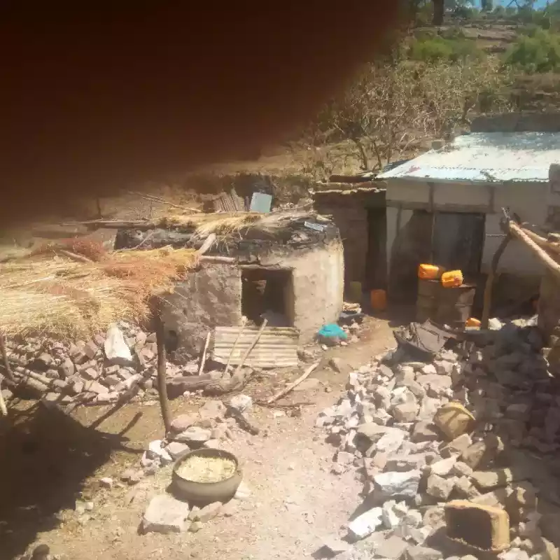
The two rooms were destroyed and temporally covered by remnants.
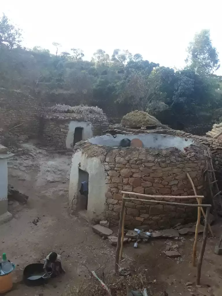
The thatched house has been destroyed.
The thatched house was destroyed.
Hagos himself was killed.
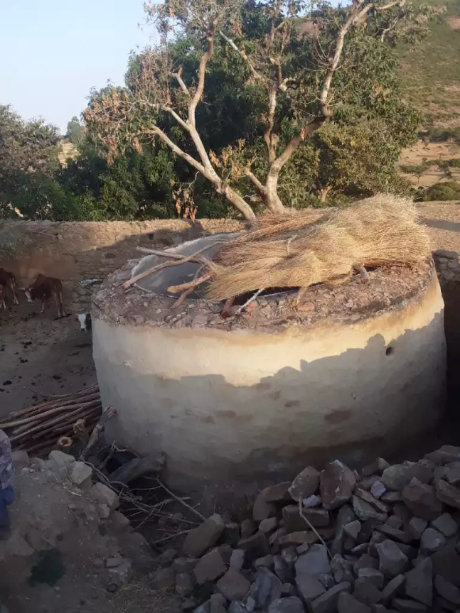
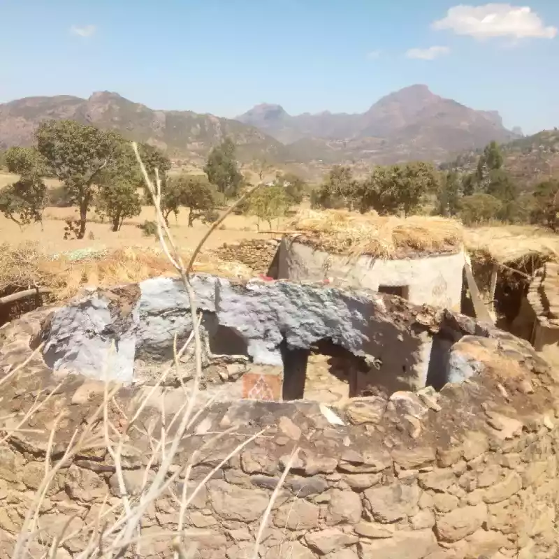
Thatched house destroyed
A thatched room has been destroyed.
A thatched room has been destroyed
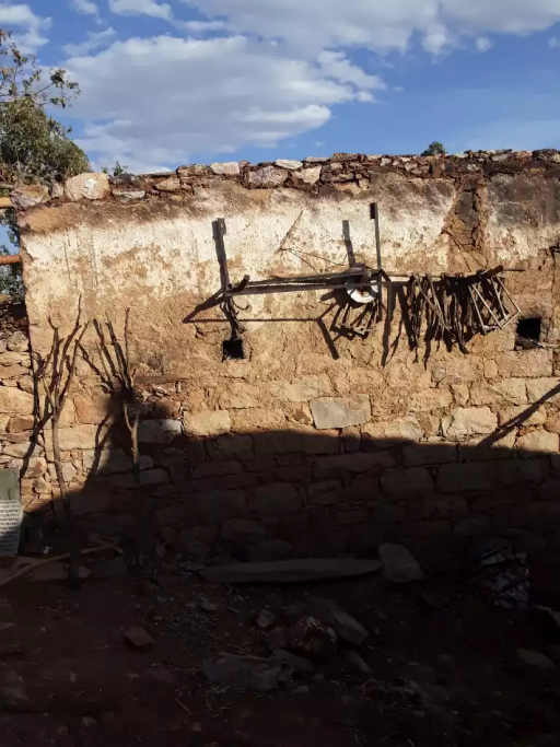
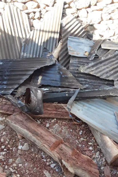
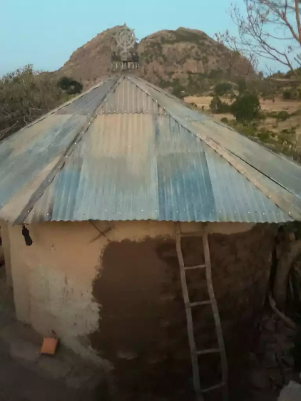
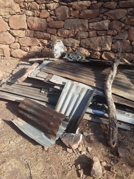
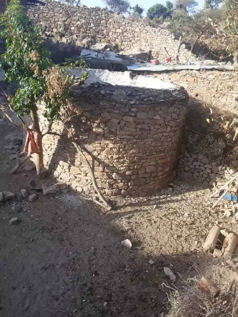
A corrugated-iron room has been destroyed by firing.
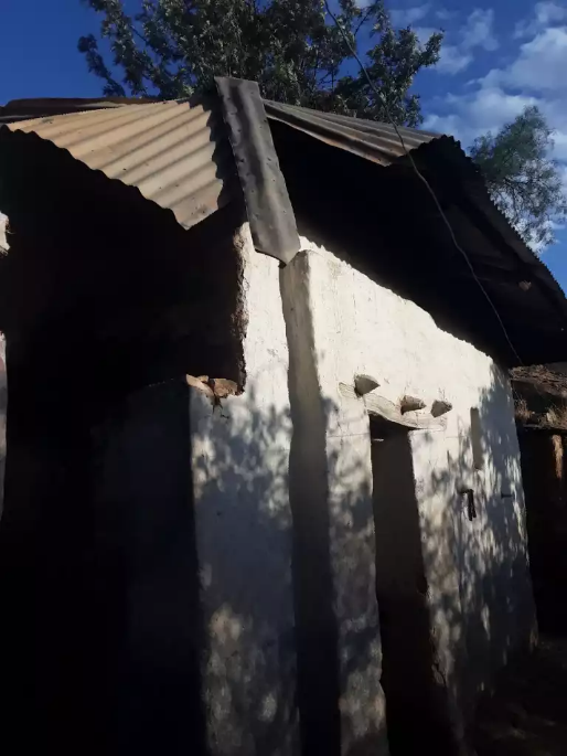
A room with a corrugated-iron roofing has been destroyed by firing.
The thatched room and another one with corrugated iron roofing have been destroyed

A thatched room has been destroyed.

A thatched room destroyed.
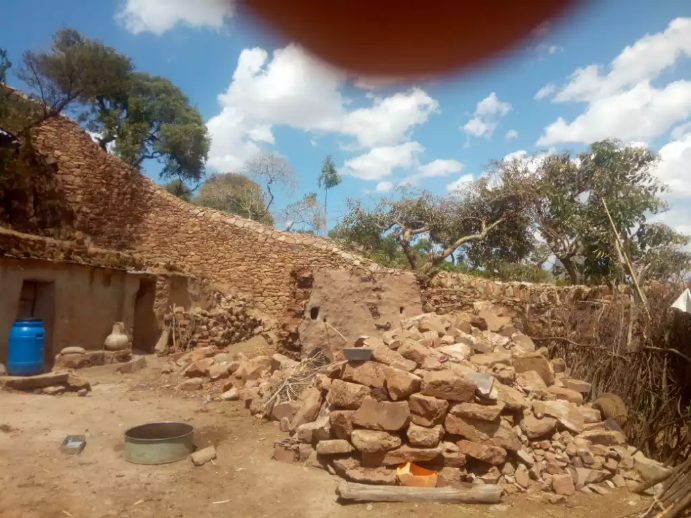
In Tabia Gendebta

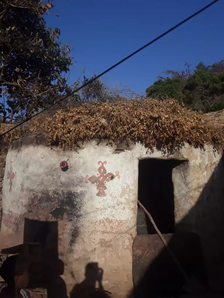
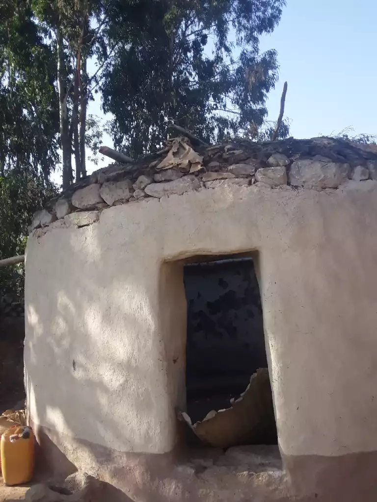
A thatched rooms destroyed and covered by tent for reuse.
One thatched room and and another one with corrugated iron roofing have been destroyed. six beehives also completely burned

a room with corrugated iron roofing burned
Owner Gebresiasie Gebremedhin was killed
A thatched room ruined by burning

A thatched room and another with corrugated iron roofing were destroyed.

A thatched house has been destroyed and they have tried to cover it for reuse
A thatched room destroyed by burning
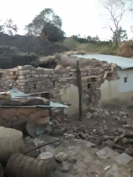
The stones of the ruins after destruction.
Final Remark
The houses listed here are a few examples from a radius of around 10 kilo Meteres. Residents claim more than 300 homesteads in the four administrative units have been destroyed only in the last week of October 2022.
The residents want the destruction to be documented and are frustrated that documentation of the killing of lives and destruction of houses and infrastructures has not been done yet. I recommend professional documentation both from satellite imagery and on the actual ground as soon as possible. Currently, however, the destruction may not be visible from satellite imagery because the residents have been repairing them with whatever material they could find because they need them for immediate shelter and living.

RB
March 7, 2023 at 6:48 pm
This is heartbreaking brother. 💔The people of Tigray demands Justice.
Well written article. Proud hafti here.